The Road Trip That Could Kill You: Driving Across America Before the Interstate
The Road Trip That Could Kill You: Driving Across America Before the Interstate
Pull up Google Maps right now and ask it how long it takes to drive from New York City to Los Angeles. It'll tell you about 40 hours — two and a half days if you push it, maybe four or five if you stop to sleep like a reasonable human being. Plug in your destination, grab a coffee, and you're basically there.
Now try to imagine doing that same trip in 1920. No interstates. No highway signs. No gas stations every few miles. No air conditioning. And — this one really gets people — almost no paved roads.
The same journey would have taken you three to four weeks, minimum. If you made it at all.
The American Road in the Early Automobile Age
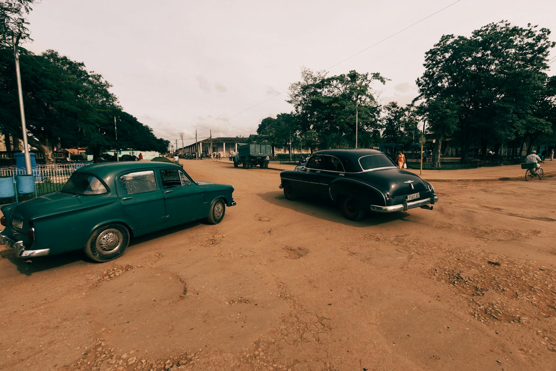
When cars first started appearing on American roads in the early 1900s, those roads were not built for them. They were built for horses. Dirt tracks, wagon ruts, and the occasional stretch of cobblestone through a city center — that was the national road network. When it rained, those dirt roads turned into rivers of mud that swallowed tires whole. When it was dry, the dust was thick enough to choke an engine.
Early cross-country drivers didn't follow a route so much as they followed rumors of a route. The Lincoln Highway, established in 1913, was technically the first coast-to-coast road in America — but calling it a road was generous. Large stretches of it were unpaved, unmarked, and maintained by whoever happened to own the land nearby. Drivers carried shovels as standard equipment. Getting stuck wasn't a possibility; it was a scheduled part of the trip.
A journey log from a 1903 cross-country drive by Horatio Nelson Jackson — the first person to complete the trip by automobile — reads more like a survival diary than a travel journal. He and his co-driver spent 63 days on the road, dealt with constant mechanical breakdowns, and had to buy a dog partway through to boost morale. They averaged less than 150 miles a day on good days.
Driving Without a Map (That Actually Worked)
Navigation was its own nightmare. Road maps existed, but they were unreliable at best and wildly misleading at worst. Distances were often estimated rather than measured. Turn-by-turn directions were sometimes published in booklets called "Blue Books" — essentially step-by-step instructions like "turn left at the red barn, proceed 2.3 miles to the fork." If the barn had been painted or knocked down, you were on your own.
Gas stations were sparse outside of major cities. Travelers carried extra fuel in cans strapped to the running boards. Breakdowns were so common that most serious drivers learned basic mechanical repair before attempting any long journey. You weren't just a driver — you were your own roadside assistance.
And motels? The concept barely existed. Early road travelers slept in tents, in farmhouses if a sympathetic owner would have them, or in the car itself. The first motor hotel — the origin of the word motel — didn't open until 1925, in San Luis Obispo, California.
The Law That Rewired America
The single biggest shift came in 1956, when President Eisenhower signed the Federal Aid Highway Act into law. Eisenhower had been deeply influenced by two things: a grueling 62-day military convoy he participated in across the country in 1919, and the German Autobahn he'd seen during World War II. He came home convinced that America needed a modern highway system — not just for commerce and convenience, but for national defense.
What followed was the largest public works project in American history. Over the next few decades, more than 47,000 miles of interstate highway were built, connecting every major city in the country with wide, well-maintained, limited-access roads designed for sustained high-speed travel. Overpasses eliminated dangerous at-grade crossings. Standardized signage meant you always knew where you were. Rest areas, service plazas, and fuel stops appeared at regular intervals.
The average cross-country drive time dropped from weeks to days almost overnight — at least in historical terms.
From Folded Paper Maps to Talking Satellites
The interstate system transformed the infrastructure of American road travel. But the technology revolution of the past 30 years transformed the experience of it.
For most of the 20th century, navigating on a road trip meant wrestling with a paper map the size of a tablecloth, arguing with whoever was in the passenger seat, and occasionally pulling over at a gas station to ask for directions from someone who'd never left the county. GPS navigation became available to civilian drivers in the 1990s, but it was the smartphone revolution of the late 2000s — and apps like Google Maps and Waze — that made real-time, turn-by-turn navigation accessible to everyone.
Today, your phone doesn't just tell you where to turn. It monitors traffic conditions in real time, reroutes you around accidents, tells you when the gas station two exits up has the cheapest fuel, and warns you about speed traps. It knows things about your route that no human navigator ever could.
The Open Road, Reinvented
There's still something romantic about the American road trip — the wide-open landscapes, the small-town diners, the sense that you're moving through the country rather than over it. That part hasn't changed. But the experience surrounding it has been so thoroughly transformed that a 1920s driver would barely recognize it.
What once demanded weeks of planning, mechanical skill, physical endurance, and a genuine tolerance for the unknown can now be accomplished by anyone with a full tank of gas and a charged phone.
That's not a loss. It's one of the quieter revolutions of modern American life — the kind you don't notice until you stop and think about what the road used to actually cost you.